Tropical Storm Gordon and Hurricane Florence
September 5, 2018
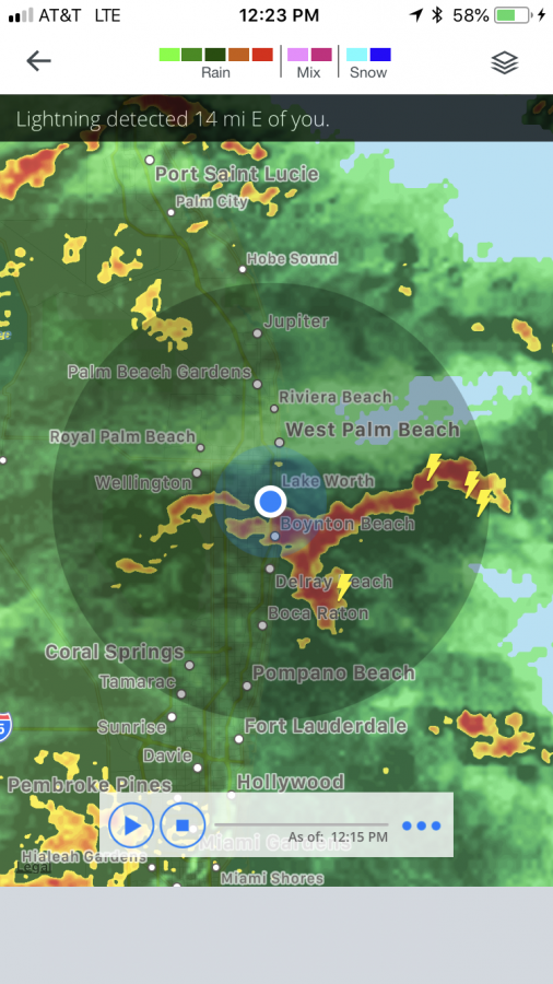
After hitting the southern tip of Florida, Tropical Storm Gordon is now making a beeline towards Louisiana and Mississippi. Gordon is expected to strengthen to a Category 1 hurricane status later today.
Land fall along the southeast coast is generally expected around midnight. Gordon will then travel north towards Arkansas. Hurricane warnings, storm surge warnings, and tropical storm warnings are in effect from New Orleans to Pensacola. Gordon’s current location is 28.5°N 86.8°W, and is moving northwest at 15 mph.
Not only that, but Tropical Storm Florence was just upgraded to a Category 1 hurricane as of the 11 a.m. advisory. Florence is not currently a threat to land, and is expected to curve out to the sea.
Florence has sustained winds of 75 mph and has a pressure of 990.0 mb. It’s currently moving at 12 mph, and its current location is 19.7°N, 42.50°W.

Marissa Colangelo • Sep 5, 2018 at 4:42 PM
Thank you for writing this, for the past few days I’ve been researching hurricane advisories, and finding this helps.